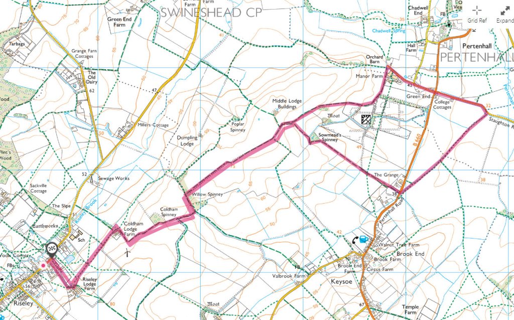
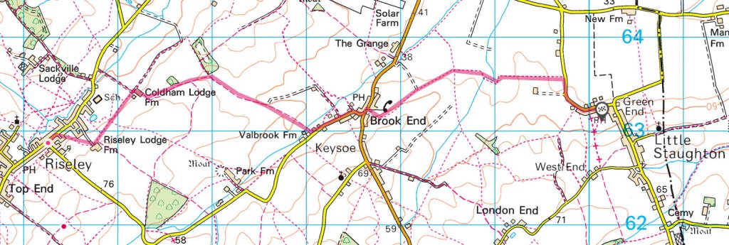
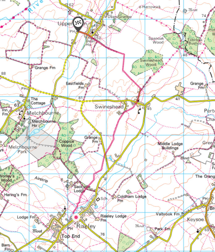
A six mile round trip from Riseley High Street to the the Keysoe Equestrian Centre. The Cafe at the Centre is open 7:30am to 3:00pm at the time of writing. It’s worth checking before you set off at their web site
https://www.keysoe.com/community-hub/
When wet it is a muddy walk in places, but refreshments at both ends make it a pleasant outing.
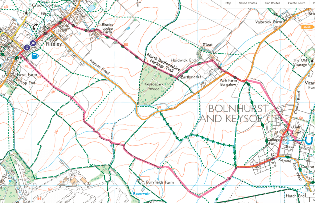
If you click on the map it will take you to the Ordnance Survey Map website.